

Agriculture
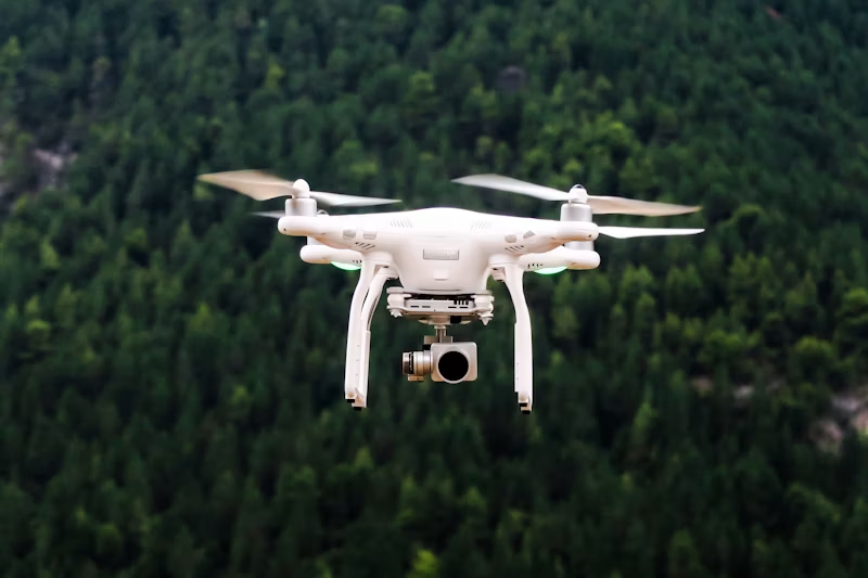
Agricultural Crop Monitoring via UAV
Scope of Work
UAV-based multispectral survey and orthomosaic generation for crop health assessment across 50,000 acres.
Outcomes & Deliverables
- High-resolution crop health maps delivered monthly
- Early pest detection alerts for 12 districts
- Improved yield forecasting accuracy


Client
Provincial Agriculture Department
Geographic Area
Southern Punjab
Technologies
Pix4DQGISUAV/DronePython
Category
Agriculture
Have a similar project in mind?
Our team can scope, propose, and deliver geospatial solutions for your department.