


Industries & Sectors Served
Specialized geospatial and digital solutions tailored for government departments across key development sectors.

Irrigation
Canal network mapping, water asset management, and irrigation scheduling systems for provincial irrigation departments.

Agriculture
Crop monitoring, soil analysis mapping, and agricultural extension support through UAV and satellite remote sensing.

Urban Planning
Master plan GIS support, zoning analysis, and urban infrastructure mapping for municipal authorities.

Local Government
Municipal asset inventories, service delivery mapping, and community development planning tools.

Revenue & Land
Cadastral surveying, land record digitization, and Land Information Management Systems for revenue boards.

Forestry
Forest cover mapping, change detection, and biodiversity assessment using remote sensing technologies.

Environment
Environmental impact mapping, pollution monitoring, and ecological assessment for EPA and environment departments.
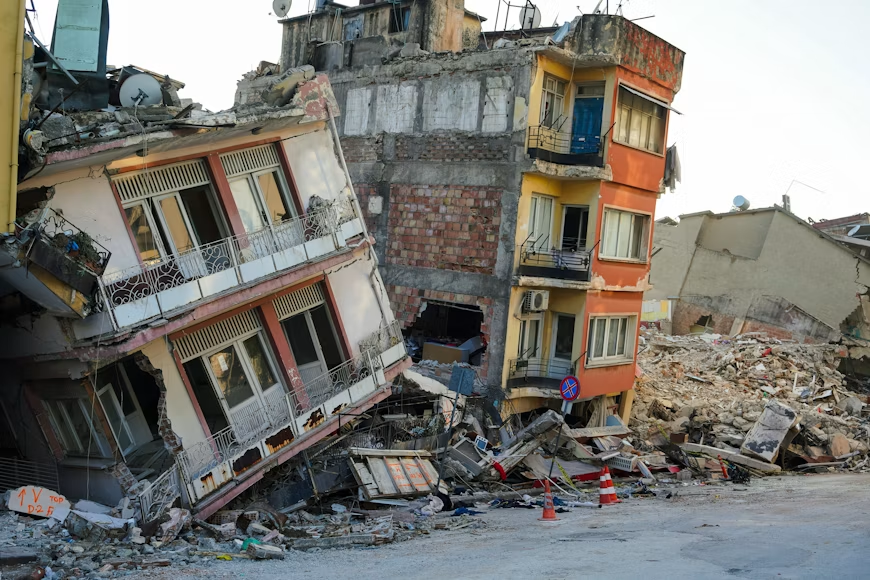
Disaster Management
Flood inundation modeling, risk mapping, and emergency response GIS for disaster management authorities.
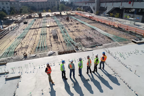
Infrastructure
Route surveys, construction layout, and infrastructure asset management for highways and public works.

Transport
Alignment surveys, traffic analysis mapping, and transport network GIS for transit authorities.
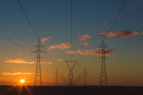
Utilities
Utility network mapping, asset tracking, and outage management systems for water, gas, and power utilities.

Housing Authorities
Housing scheme surveying, plot allocation systems, and development monitoring for housing authorities.
Ready to discuss your project?
Contact our team for technical proposals, consultations, and government tender support.