

Our Services
End-to-end geospatial, surveying, and digital infrastructure solutions designed for government procurement and public-sector development.

GIS & Mapping Services
Enterprise GIS databases, web portals, and spatial analysis for government land and asset management.
Learn more →

Surveying Services
Precision topographic, DGPS, and construction layout surveys for infrastructure and development projects.
Learn more →

Remote Sensing & UAV
Satellite imagery analysis, orthomosaics, and change detection for agriculture, flood, and environmental monitoring.
Learn more →
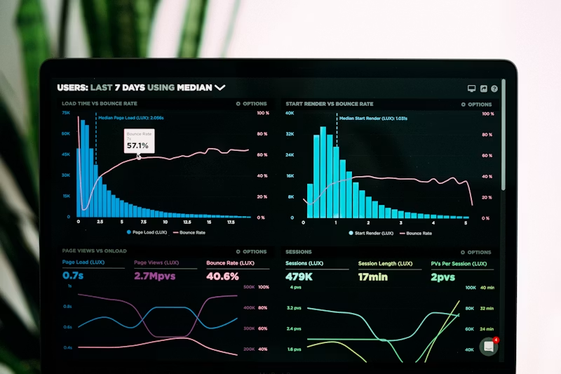
IT & Digital Solutions
Custom software, dashboards, mobile apps, and government digitization platforms.
Learn more →

Engineering & Planning
Feasibility studies, hydraulic analysis, infrastructure planning, and project monitoring systems.
Learn more →
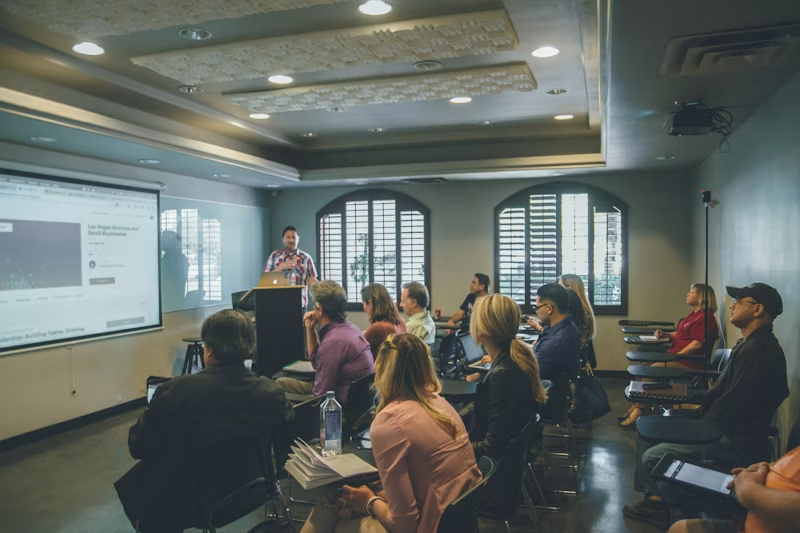
Training & Capacity Building
GIS, drone operations, and survey equipment training for government teams.
Learn more →
Ready to discuss your project?
Contact our team for technical proposals, consultations, and government tender support.