
Remote Sensing & UAV
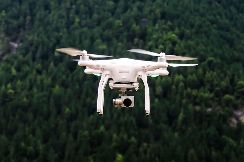
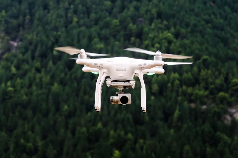
We leverage satellite and UAV platforms to produce actionable geospatial intelligence for crop monitoring, disaster response, environmental assessment, and large-area mapping.
What We Deliver
Satellite imagery analysis, orthomosaics, and change detection for agriculture, flood, and environmental monitoring.
Satellite imagery analysis
Orthomosaic generation
DEM/DTM creation
Change detection
Agricultural monitoring
Flood mapping
Interested in Remote Sensing & UAV?
Request a technical proposal or schedule a consultation with our team.